
Hickory Creek Trail Master Plan
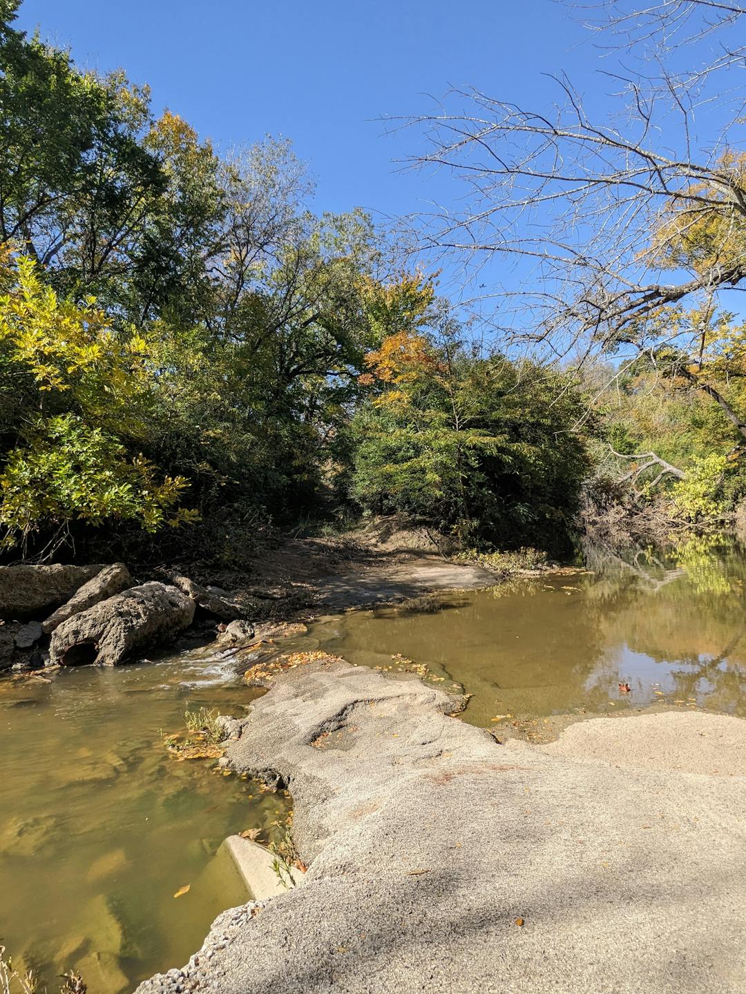
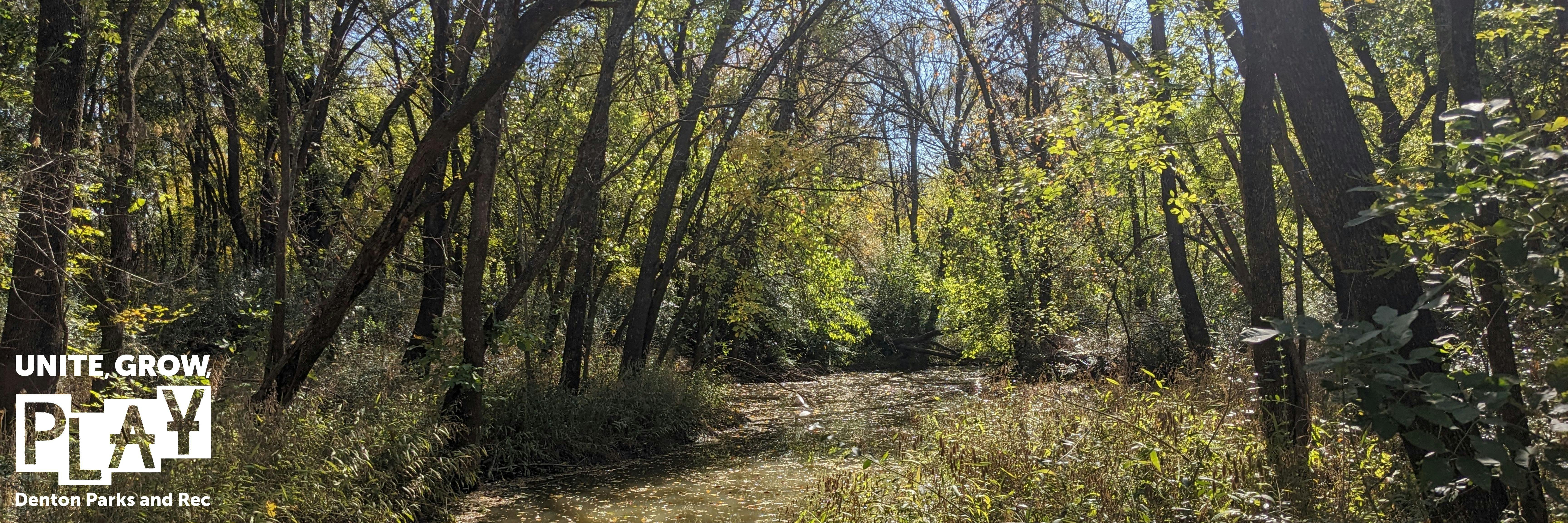
City Council adopted the Parks, Recreation, and Trails System Master Plan on March 1, 2022. The plan identifies a future trail along the Hickory Creek Corridor. The trail is estimated to be roughly 15 miles long and will follow the Hickory Creek corridor. The trail's starting point is from Old Alton Bridge (Old Alton Rd.), and the endpoint is University St. (US-380). The path is proposed to go through both private and City land. Staff is working diligently to identify the areas needed within the private land and engage with the landowners in the pursuit of land dedication or attaining public access easements.
Parks and Recreation will collaborate with the City Engineering/Transportation Department and Environmental Services and Sustainability staff throughout the creation of this plan. The proposed project will consist of public engagement, needs assessment, conceptual designs, construction documents, the probable cost for the development, and the ability to provide grant writing services. This information will become part of the master plan for constructing the linear trail. The trail includes items such as but is not limited to concrete trails, bridges, boardwalks, landscaping, and typical amenities.

Park and Recreation Staff
-

Phone (940) 349-7464 Email ziad.kharrat@cityofdenton.com -

Phone (940) 349-7460 Email Gary.Packan@cityofdenton.com